
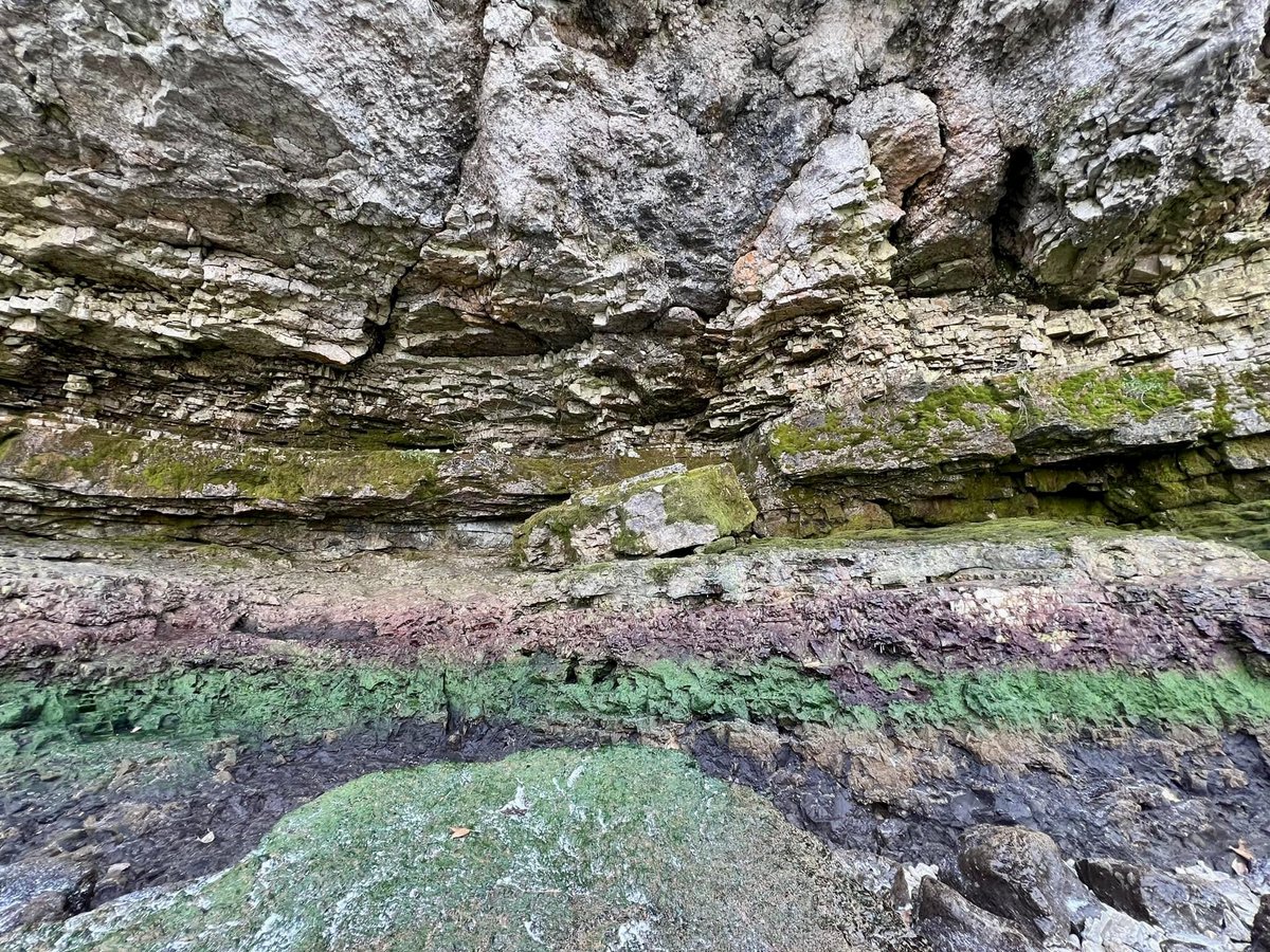
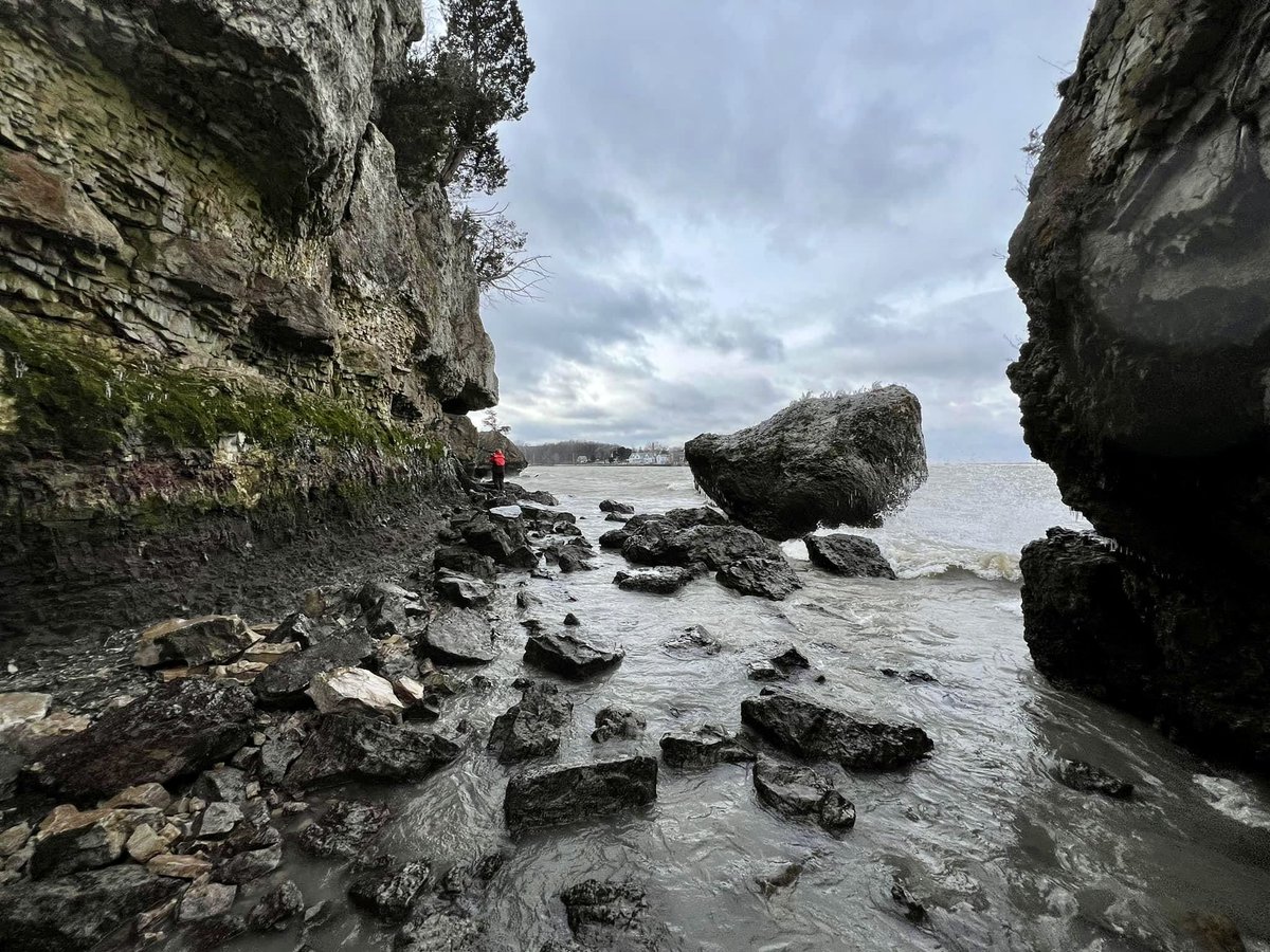
Sustained winds “pushed” the water to the east end of Lake Erie, leaving the bottom of the western basin exposed. Island residents explored the normally underwater bays & shorelines. #putinbay #ohwx 📸 B. Koehler @TonyGeftos13abc @CNNweather @weathernetwork


@MILLERBOATLINE @TonyGeftos13abc @CNNweather @weathernetwork Thank you for sharing these remarkable images!

@MILLERBOATLINE @TonyGeftos13abc @CNNweather @weathernetwork Without a Doubt - Mother Nature is Endlessly Amazing!😀👍


@MILLERBOATLINE @TonyGeftos13abc @CNNweather @weathernetwork This is so cool

@MILLERBOATLINE @TonyGeftos13abc @CNNweather @weathernetwork 😚 🤔 'Zat what they call a Tsiberianami?🌬🌊 😏

@MILLERBOATLINE @TonyGeftos13abc @CNNweather @weathernetwork I can't help but wonder ... How deep was that water, before it got pushed away? How quickly would it return if the winds suddenly died down? What's the level of risk for this activity, given how cold the water would have been?


@MILLERBOATLINE @TonyGeftos13abc @CNNweather @weathernetwork You can clearly see the niche partitioning of the algae on these rocks.