Southern BC - 4/26/24 Weather Update Created @ 9:30 am At the SFC, it'll be relatively quiet synoptically, other than the potential for stationary boundary &/or low development in the Interior. In the upper levels, Southern BC will remain under the influence of a... #BCStorm

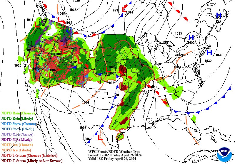
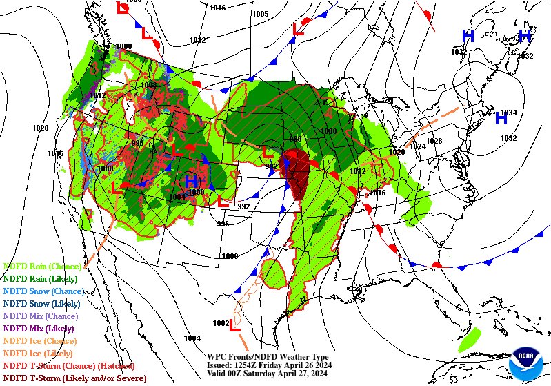

...weak, broad troughing regime, w/ the main disturbance/shortwave (currently set along the west coast) within it slowly dissipating, doing so by late eve. This'll turn the variable (NW to south), weak flow to a more direct, albeit still weak, W-SW flow in the eve. #BCStorm
Coastal Weather Widespread precip (rain w/ high elevation snow) will turn more isolated-scattered this aft. Isolated-scattered precip/convection, mainly found in higher elevations (where lift is greatest), will dissipate further this eve. By the end of the day, either... #BCStorm

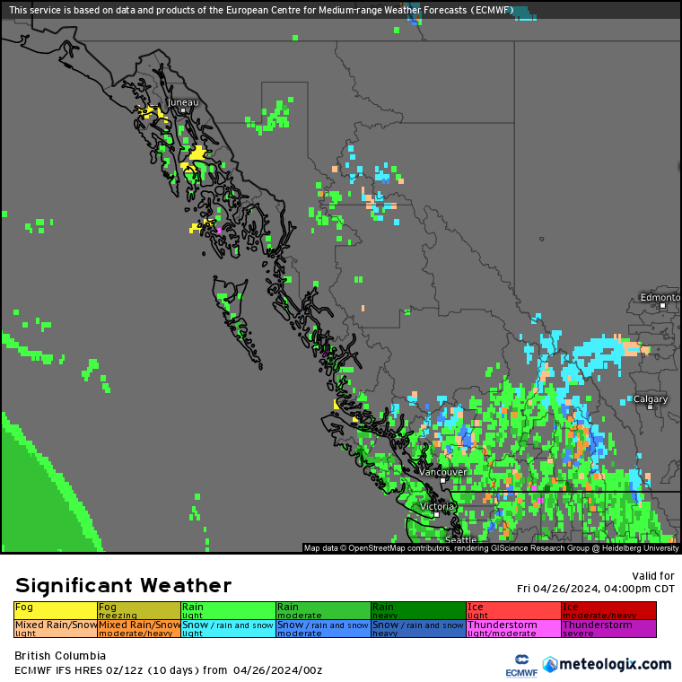
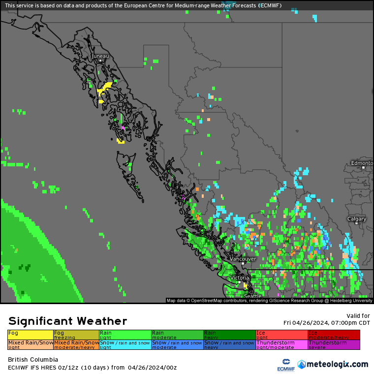
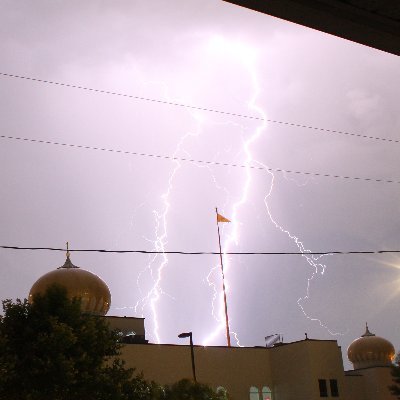
...fully dry or a few isolated areas of precip will be the story. Unlike the Interior (later discussed), the threat is very low for t-storm activity amongst the isolated-scattered convection, but nonetheless, a non-zero threat for a brief t-storm in the alpine of the... #BCStorm
...Coastal Mountains/Inland VI is still noted in a weakly destabilized, steep lapse rate environment. Accumulations (incl. since midnight) Rainfall: For most-all, <1-10 mm of rain w/ localized totals up to 10-20 mm is possible. High Elevation Snowfall: For some- most... #BCStorm
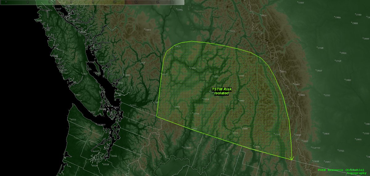
...<1-15 cm of snow is possible. #BCStorm Interior Weather Widespread precip (rain w/ high elevation snow) will continue to dissipate this morning. Mainly isolated-scattered precip/convection will then be the story for the aft into early eve, w/ the risk for isolated t-storms.
W/ forcing mainly driven by daytime heating, orographic lift, & the aforementioned upper level feature, & an environment characterized by weak instability, steep lapse rates, & weak shear (<20 kts), this should be suitable enough for the threat for at least a few... #bcstorm
...isolated t-storms amongst the aforementioned convection. During the aft-early eve period, non-TSTM/TSTM convection will be capable of producing localized heavy downpours, small hail, & wind gusts up to 50-60 km/h. #BCStorm Convection/precip will then begin to slowly...