Search results for #OGCAPI

OGC solicita comentarios sobre OGC API – Joins Standard. Este estándar permite unir datos tabulares con otros archivos de datos. Más información aquí: ogc.org/requests/ogc-s… #OGCAPI @opengeospatial
Recuerda, el próximo jueves 1 de mayo a las 13:00 CET se realizará un seminario web sobre #OGCAPI – Moving Features Standard Ponentes: Gobe Hobona, Kyoung-Sook Kim y Taehoon Kim. Más información y registro events.ogc.org/OGC-API-Moving… @opengeospatial
Recuerda, el próximo jueves 3 de abril se realizará un seminario web sobre #OGCAPI – Maps Standard. Ponentes: Joan Masó, Jérôme Jacovella-St-Louis y Gobe Hobona ¡Registrate! zurl.co/BHC1i

Recuerda, el próximo jueves 3 de abril se realizará un seminario web sobre #OGCAPI – Maps Standard. Ponentes: Joan Masó, Jérôme Jacovella-St-Louis y Gobe Hobona ¡Registrate! zurl.co/BHC1i
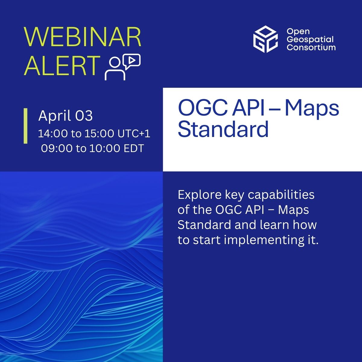
El próximo 3 de abril tendrá lugar un seminario web sobre #OGCAPI – Maps. Discover how it powers web-based map & tile requests with #OpenAPI & modern tech, advancing WMS & WMTS. Ponentes: Joan Masó , Jérôme Jacovella-St-Louis y Gobe Hobona Inscripción: zurl.co/BHC1i
El próximo 3 de abril tendrá lugar un seminario web sobre #OGCAPI – Maps. Discover how it powers web-based map & tile requests with #OpenAPI & modern tech, advancing WMS & WMTS. Ponentes: Joan Masó , Jérôme Jacovella-St-Louis y Gobe Hobona Inscripción: zurl.co/BHC1i
Join our webinar on #OGCAPI – Maps! Discover how it powers web-based map & tile requests with #OpenAPI & modern tech, advancing WMS & WMTS. 📅 April 3, 2025 | ⏰ 14:00–15:00 UTC+1 🎙️ Joan Masó | Jérôme Jacovella-St-Louis | Gobe Hobona Register now! zurl.co/BHC1i

✨ Nuevo estándar de #OGCAPI – Funciones móviles – Parte 1: Core Facilita la gestión de datos geoespaciales para entidades móviles: vehículos, patrones climáticos y más. Gran utilidad para aplicaciones de transportes, respuesta ante catástrofes o vigilancia medioambiental
✨ Nuevo estándar de #OGCAPI – Funciones móviles – Parte 1: Core Facilita la gestión de datos geoespaciales para entidades móviles: vehículos, patrones climáticos y más. Gran utilidad para aplicaciones de transportes, respuesta ante catástrofes o vigilancia medioambiental

✨ New standard alert! #OGCAPI – Moving Features – Part 1: Core makes it easier to manage geospatial data for moving entities - vehicles, weather patterns, and more! Huge value for apps in #Transportation, #DisasterResponse, or #EnvironmentalMonitoring zurl.co/VFaQs
📅 Next Thu: #OGCAPI Training Workshop! Join us on Dec 5 at Innovation Days DC for a hands-on session exploring how OGC #APIs transform #geospatial data sharing, access, and analysis. Gain practical skills with exercises aligned to FAIR principles zurl.co/eD7M
Del 18 al 19 de noviembre se realizará el OGC Metadata Code Sprint en Sydney y en modalidad virtual. El sprint tratará varios estándares de metadatos OGC e ISO utilizando la familia de estándares #OGCAPI, así como el modelo semántico GeoDCAT. zurl.co/Qso8
Del 18 al 19 de noviembre se realizará el OGC Metadata Code Sprint en Sydney y en modalidad virtual. El sprint tratará varios estándares de metadatos OGC e ISO utilizando la familia de estándares #OGCAPI, así como el modelo semántico GeoDCAT. zurl.co/Qso8

Developers are invited to the OGC Metadata Code Sprint, Nov 18-19, in Sydney and online. The Sprint will focus on various OGC and ISO metadata standards using the #OGCAPI family of Standards, as well as the GeoDCAT semantic model for dataset descriptions: zurl.co/Qso8
✨ Exciting news! The OGC API – EDR – Part 2: Publish-Subscribe Workflow has been approved as an official OGC Standard. This standard enables real-time, event-driven updates for geospatial data. 🌍📡 Learn more: zurl.co/9fey #API #EnvironmentalData #PubSub #OGCAPI
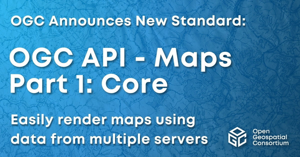
Excited to announce that the OGC Membership has approved OGC API - Maps - Part 1: Core as an official OGC Standard. Learn more here: ogc.org/press-release/… #OGCAPI #Standard
Requesting public comment on #OGCAPI – Features – Parts 4 & 5. Part 4 defines API building blocks that allow geospatial resources to be added to, replaced, modified and/or removed; while Part 5 specifies how to describe data using a logical schema bit.ly/3zpE9MG

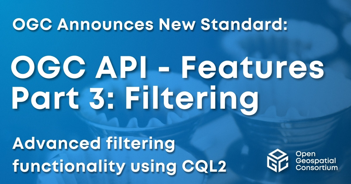
Excited to announce OGC API - Features - Part 3: Filtering as a new OGC Standard. Part 3 that adds advanced filtering functionality (using CQL2) to OGC API - Features. Learn more at: ogc.org/press-release/… #OGCAPI #Standard
Requesting public comment on #OGCAPI – Features – Parts 4 & 5. Part 4 defines API building blocks that allow geospatial resources to be added to, replaced, modified and/or removed; while Part 5 specifies how to describe data using a logical schema bit.ly/3zpE9MG
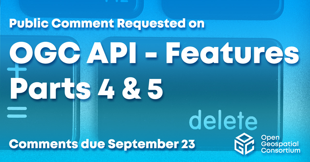
Requesting public comment on #OGCAPI – Features – Parts 4 & 5. Part 4 defines API building blocks that allow geospatial resources to be added to, replaced, modified and/or removed; while Part 5 specifies how to describe data using a logical schema bit.ly/3zpE9MG

Requesting public comment on #OGCAPI – Features – Parts 4 & 5. Part 4 defines API building blocks that allow geospatial resources to be added to, replaced, modified and/or removed; while Part 5 specifies how to describe data using a logical schema bit.ly/3zpE9MG

Requesting public comment on #OGCAPI – Features – Parts 4 & 5. Part 4 defines API building blocks that allow geospatial resources to be added to, replaced, modified and/or removed; while Part 5 specifies how to describe data using a logical schema bit.ly/3zpE9MG

Requesting public comment on #OGCAPI – Features – Parts 4 & 5. Part 4 defines API building blocks that allow geospatial resources to be added to, replaced, modified and/or removed; while Part 5 specifies how to describe data using a logical schema bit.ly/3zpE9MG
