Search results for #leafletjs

🚨 Je cherche un bénévole pour créer un outil de découpe de tuiles pour Leaflet 🗺️ Capable de gérer énormément de zones sans crash. #LeafletJS #Mapping #WebDev #GIS #JavaScript #OpenSource #Bénévole

⭐ Use Font Awesome with Marker Icons API! Thousands of icons, fully customizable in size, color, shadow & more for your maps. Just set: iconType=awesome&icon=star #mapdesign #webmaps #leafletjs #fontawesome #gisdev #maplibre 👉 geoapify.com/map-marker-ico…

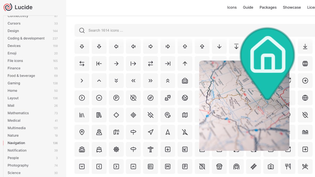
📍 Use sleek Lucide Icons in your custom map markers! Just set: iconType=lucide&icon=map-pin ✅ Up to 3000 icons/day for Free ✅ PNG download ready Try now → geoapify.com/map-marker-ico… #lucideicons #mapdesign #leafletjs #maplibre #gisdev #webmaps #frontenddev
🎯 Marker Icons API v2 = full control: size=80 → marker size contentSize=40 → icon size Example: ?icon=home&iconType=material&size=80&contentSize=40 👉 geoapify.com/map-marker-ico… #mapdesign #leafletjs #gisdev #maplibre #fontawesome #webmaps

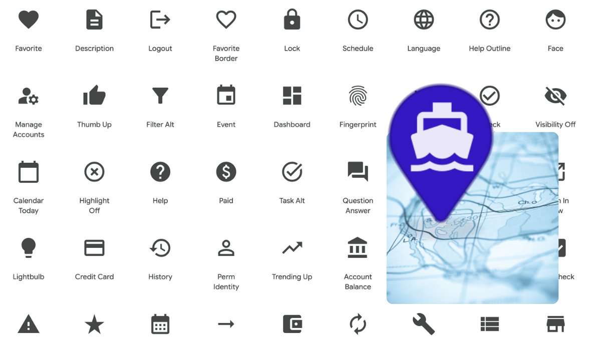
🏠 Add Google’s Material Icons to your map markers! Just set: iconType=material&icon=home Free to download, PNG output, customizable size, color & more 🎨 👉 geoapify.com/map-marker-ico… #materialicons #leafletjs #maplibre #gisdev #webmaps #mapdesign
Want to add travel-time maps to your app? We published two minimal JS examples with @geoapify’s Isoline API: 🗺️ Leaflet → github.com/geoapify/maps-… 🗺️ MapLibre → github.com/geoapify/maps-… #gis #javascript #leafletjs #maplibre #opensource

✨ Use beautiful custom map markers in your Static Maps! Generate icons with Font Awesome, Material, or Lucide Add to map via marker param → Done! Try it: geoapify.com/static-maps-ap… #staticmaps #mapmarkers #webmaps #gisdev #leafletjs #maplibre #mapdesign

How to calculate a reachability map (aka isochrone / time-radius map) in JavaScript? 🧭 Use @geoapify Isoline API 🗺️ Render with @LeafletJS or @maplibre We’ve published two code samples to get you started: github.com/geoapify/maps-… #javascript #gis #leafletjs #maplibre #isoline

A quick way to enhance the appearance of a raster tile layer in #LeafletJS is to tweak the #CSS image filters! I adjusted brightness, contrast, and saturation, and gave hue-rotate a slight shift toward the blues — it really improves the default #OpenStreetMap layer.
🛠️ Want to build a time-radius map with @LeafletJS? This open-source example shows how to: ✅ Use @geoapify’s Isoline API ✅ Send travel time/distance requests ✅ Draw polygons on the map Code 👉 github.com/geoapify/maps-… #javascript #leafletjs #gis #isoline #webdev
Custom map markers with: ✅ Font Awesome ✅ Material Icons ✅ Lucide Use them via Marker Icons API — free (3000/day), PNG-ready, works in Leaflet, Maplibre, Google Maps, and other. 👉 geoapify.com/map-marker-ico… #mapicons #gisdev #leafletjs #maplibre #webmaps #mapdesign

Want to add a time-radius map to @LeafletJS in minutes? This @geoapify sample shows how to: ✅ Load isolines as GeoJSON ✅ Draw on map in 5 lines ✅ Add interactivity 👉 github.com/geoapify/maps-… #gis #leafletjs #javascript #isoline #GeoJSON

Want to get a user’s location in your web app? 🌍 Learn how to use latitude & longitude with JS, Leaflet, and PHP: ✅ Get location ✅ Show on map ✅ Send to backend 🔗 blog.overite.co/post.php?id=589 #WebDev #JavaScript #Geolocation #LeafletJS #PHP
Adding interactive maps to the hero sections of both my Portfolio and Blog pages to provide geographic context for each project and article. Built with #LeafletJS and #JavaScript, styled with #CSS. Spatial data prepared in #QGIS.

🗺️ Starting on Interactive Web Map Application Using Leaflet.js Key Features: ✅ Multiple Base Maps (OpenStreetMap, Stamen Watercolor, ESRI Imagery) ✅ Load and style a GeoJSON layer ✅ Custom zoom controls #WebMapping #LeafletJS #GIS #GeoJSON #OpenSource

🗺️ Today I learned how to integrate MapTiler API with Leaflet.js to show dynamic maps on my webpage! Used geocoding to fetch coordinates Fallback to country if location fails Added marker + radius highlight Custom popup on hover! @ApnacollegeX #WebDev #MapTiler #LeafletJS


Just launched Gulf Vessel Tracker ! A real-time marine dashboard to monitor ship traffic in the Gulf Built with React.js + Leaflet Animated trails Filter by ship type github.com/alirazi1992/Gu… #ReactJS #LeafletJS #WebDev #OpenSource #MaritimeTech #ShipTracker #FrontendDev

🌍 Nouvelle carte interactive des câbles sous-marins en fibre optique 💡 🔹 Données #OpenData 🔹 Vue dynamique selon la carte 🔹 Recherche & popup 🔹 Réalisée avec #LeafletJS ➡️ Testez-la ici : djib-carto.github.io/cable/ #DataViz #WebMapping #GIS #FibreOptique


🗺️ Big update for #Drupal mappers! Leaflet 10.3.x now supports GeoJSON overlays in map widgets, enabling snapping, custom styles, and dynamic sources. Shared by Italo Mairo @ItaloMairo bit.ly/4kWBSLZ #WebGIS #GeoJSON #DrupalMapping #LeafletJS


Volodymyr Agafonkin �... @mourner
15K Followers 1K Following Engineer at @Mapbox, creator of @LeafletJS, open source enthusiast, algorithms geek, speaker, musician @obiymydoschu, baker, father of twin girls, Ukrainian
Leaflet @LeafletJS
29K Followers 1K Following Leaflet, an open-source JavaScript library for mobile-friendly interactive maps 🍃🇺🇦
Per Liedman @liedman
492 Followers 858 Following Geo, maps and open source. Makes software for #precisionag and drones at @SolviAgro. These days, not as much @LeafletJS as before. @[email protected]